◆ Difficult • 35"+ / Lockers & Winch
Open / Clear
4x4 / Off-Road
Dirt Bike
✔ Verified
Whipsaw Creek 4x4 Trail (Wells Peak & Lodestone Loop)
Whipsaw FSR / Coalmont Road Link • Near Princeton • Technical Rock / Crawl
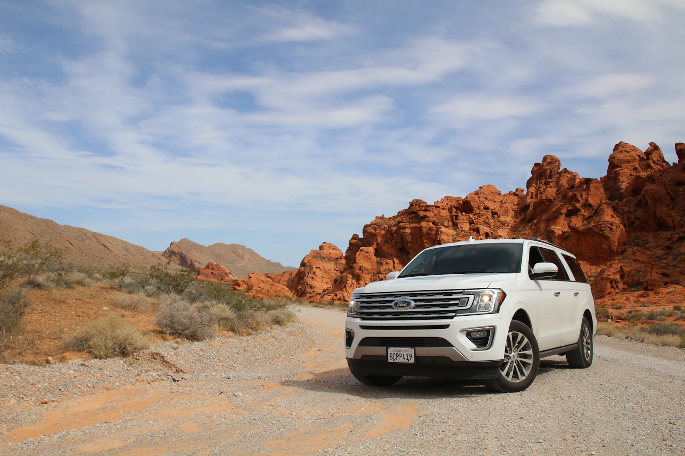
📷 2 Trail Photos • Click to expand
Share Trail Conditions in Photos
Upload photos of water crossings, obstacles, views, or parking areas.
Technical Trail Telemetry
Distance & Time
64.2 km • ~6 hrs
Elevation Gain / Peak
+1,450m / 1,995m
Surface Type
Rock Crawl, Mud/Ruts, Water Crossing, Alpine Track
Vehicle / Min Spec
11"+ Clearance • Difficult (Built / 35"+ / Lockers)
Brush / Pinstripe Rating
3/5 • Moderate Pinstriping
Land Manager & Access
BC Ministry of Forests (Cascades District)
Trail Guide, Obstacles & Access Notes
Route Overview
Whipsaw Creek is British Columbia's flagship heritage 4x4 trail, tracing the historic Hudson's Bay Brigade & Dewdney cattle trail from Highway 3 south of Princeton up onto the 2,000m alpine ridges around Wells Peak and Lodestone Lake, exiting at Coalmont.
Technical Cruxes
- Falcon Hill: Ledgy granite step-ups requiring careful tire placement, 4-Low, and ideally a rear locker.
- Meadow Bypass Bogs: Deep alpine mud holes—stay on the established rock-armored line and never drive onto fragile alpine heather meadows.
Road Width & Bypass Notes: Tight sub-alpine timber pinches, deep peat/mud bogs, and rocky step-ups near Falcon Hill and Wells Peak.
Key Obstacles:
📍 Falcon Hill Rock Steps
📍 Deep Peat Mud Bogs
📍 30" Creek Fords
📍 Off-Camber Roots
Interactive GPX Map & Elevation Profile
Blue P = Trailer/Staging Parking • Green = Trailhead Start • Hover chart to track position
KM:
Elev:
Grade:
Elevation Profile (980m → 1995m • +1450m)
Live Trail Condition Log
Recent snowline, mud, downed tree, and gate check-ins.
Maya Lin
•
2022 Tacoma TRD Off-Road (33" Wildpeaks)
★★★★★
Rough
Open / Clear
Nov 12, 2026
Drove Whipsaw Creek 4x4 Trail (Wells Peak & Lodestone Loop) yesterday. Radio callouts on LAD-1 / 154.100 MHz + GMRS 16 were active. Waterbars above mid-mountain are deep—definitely air down at the staging coordinates.
Snowline: 1,350 m
Mud / Water: Hub-deep in shaded creek draws; bridges intact
Trail Discussion (3)
Vote on helpful tips, click any vertical thread line on the left to collapse replies, or join the conversation.
Join the trail discussion. Sign in to post comments, reply, or vote.
[+]
Maya Lin
Toyota Tacoma TRD Off-Road
• 16 minutes ago • pts
(1 reply hidden)
M
Maya Lin
@kootenay_tacoma
Toyota Tacoma TRD Off-Road
• 16 minutes ago
Aired down to 18 PSI at the staging pullout (`49.3291, -120.5984`). Surface held up well despite recent rain—keep radio open on LAD-1 / 154.100 MHz + GMRS 16.
[+]
Liam Mercer
KTM 500 EXC-F Six Days
• 16 minutes ago • pts
(1 reply hidden)
L
Liam Mercer
@sea2sky_enduro
KTM 500 EXC-F Six Days
• 16 minutes ago
Did you notice any fresh blowdown or washout ruts around the high point (1995m)? Planning a dual-sport run this Saturday.
[+]
Colton Vance (BC Dispatch)
Toyota Land Cruiser 80 Series (Triple Locked)
• 16 minutes ago • pts
C
Colton Vance (BC Dispatch)
@bcoverland_admin
Toyota Land Cruiser 80 Series (Triple Locked)
• 16 minutes ago
Saw two small alders cleared near the switchbacks last weekend—totally passable on bikes and full-size rigs right now. Pack a folding saw just in case wind picks up.
+ Upload Trail Photo
Trip Plan & Safety