Mount Cheam FSR (Chipmunk Creek)


Technical Trail Telemetry
Trail Guide, Obstacles & Access Notes
Located in British Columbia's Chilliwack River Valley near Chilliwack, Mount Cheam FSR (Chipmunk Creek) is one of the most popular Chilliwack 4x4 trails and Mainland / Southwest Forest Service Roads, offering motorized access into high subalpine terrain. Managed within the Chilliwack Natural Resource District, the route is open to 4x4 trucks and SUVs as well as dirt bikes and dual-sport motorcycles. Drivers depart paved Chilliwack Lake Road onto Bench Forest Service Road, cross the concrete bridge over the Chilliwack River past the Chipmunk Creek FSR staging area, and climb 6.6 km up Chipmunk Forest Service Road before forking right onto Mount Cheam Forest Service Road for a steep 4.3 km ascent. Across its 14.75 km verified track distance, the trail starts at 393 m on the valley floor and climbs to a high point of 1,475 m, accumulating 1,299 m of elevation gain on the way to the subalpine Mount Cheam Trailhead.
Rated 3/5 — Difficult (Lift / 33"+ / Lockers), the route demands careful line choice and capable equipment, with 10.5"+ of clearance typical for comfortable passage and at least 9.5–10" of ground clearance plus skid protection strongly recommended for the upper ascent. The road surface transitions from rough, potholed gravel on the lower approach to steep, loose rock and shale grades punctuated by dozens of deep cross-ditches and waterbars, narrow shelf-road sections with minimal passing room, and encroaching brush. Stock crossovers and low-clearance vehicles routinely scrape bumpers or high-center in the waterbars. Access currently sits at Caution / Snow, aligning with Chilliwack Natural Resource District road safety advisories that warn of deep cross-ditches along Mount Cheam FSR as well as heightened runoff, washout, and debris-flow risks following regional wildfires. Community reports have also documented periodic washouts along Chipmunk Creek FSR that require careful traversal or temporary repairs. Plan trips within the core July through October seasonal window, as snowpack and seasonal snow drifts commonly block the upper switchbacks into late June and return by mid-to-late autumn.
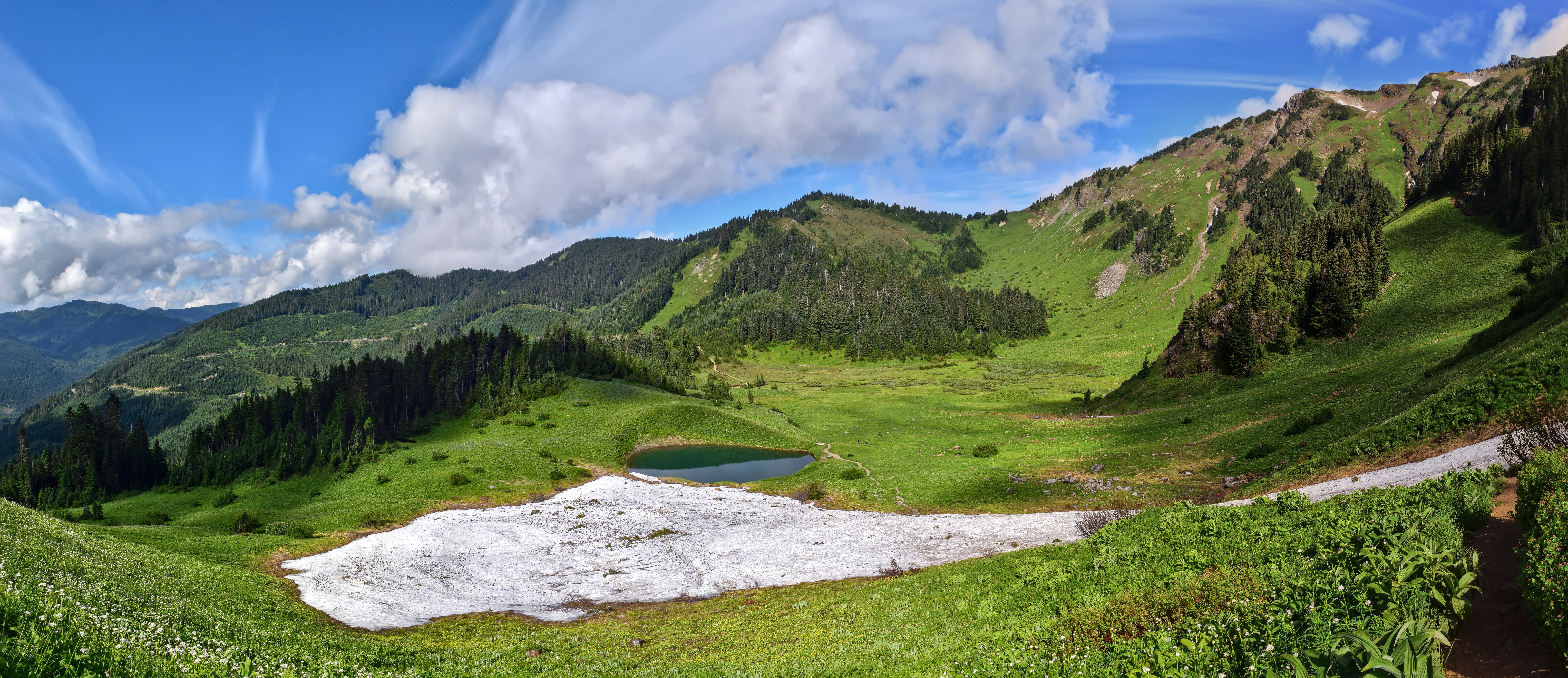
At the top, the Mount Cheam Trailhead serves as the gateway to subalpine meadows, glacial Spoon Lake, and sweeping summit views encompassing the Fraser Valley, Jones Lake, and Mount Baker. Lower down in the corridor, travelers and riders are close to Chipmunk Caves, Chipmunk Peninsula, and the Rapids Recreation Site, which sit near the well-known Chipmunk Creek dirt-bike trail network; because lower-valley recreation sites are occasionally closed due to flooding or storm damage, visitors should confirm camping availability ahead of departure. When exploring Mainland / Southwest Forest Service Roads, always yield the right-of-way to active industrial and logging traffic, monitor the BC Resource Road VHF channel posted on local road signboards, and download offline maps beforehand, as cellular service drops out along Chilliwack Lake Road. Carry self-recovery gear and emergency weather layers, pack out all waste, and stay on established roadbeds and pullouts in accordance with Tread Lightly principles to keep this high-alpine corridor open for future seasons.
Interactive GPX Map & Elevation Profile
Blue P = Trailer/Staging Parking • Green = Trailhead Start • Hover chart to track position
Compare Green (Current) vs Orange (Candidate) below. Pick individual segments, distance, or waypoint pins separately.
Live Trail Condition Log
Recent snowline, mud, downed tree, and gate check-ins.
No condition check-ins logged yet.
Trail Discussion (0)
Vote on helpful tips, click any vertical thread line on the left to collapse replies, or join the conversation.
No comments yet. Start the conversation above!